-
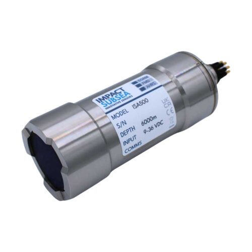 Impact Subsea ISA500 Altimeter Equipment rental to supply of 6k Depth rated 500kHz Altimeter, 0.5-meter interface whip, USB drive with SeaView configuration software and user manual, quick start guide, and transit case. - 400-600kHz tunable (500kHz Standard) - 0.1 to 120m altitude range - 1mm resolution - 6" conical beamwidth at 500kHz
 -
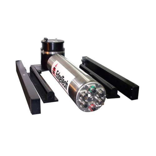 EdgeTech 2205 Tri-Frequency Side Scan Sonar (ROV) 2K Depth Rating Equipment rental to supply an EdgeTech 2205 Side Scan Sonar System designed for ROVs and AUVs. Comes with bottle electronics, side scan sonar arrays, Discover software, and mounting brackets.
 -
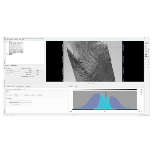
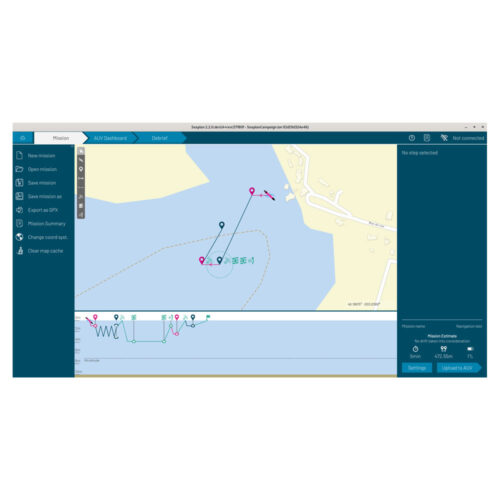 SEABER DeepView Side Scan Software
 -
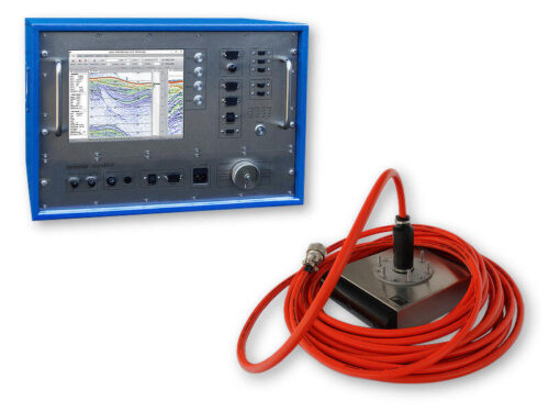
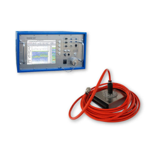
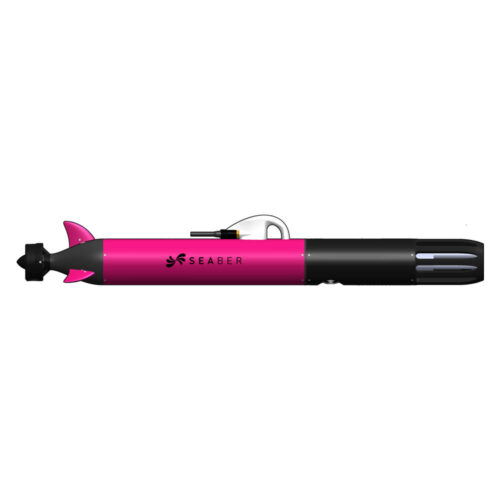 SEABER AML Sensor with other available options
 -
 Subscription or Perpetual Based License
 -
 Subscription or Perpetual based license
 -
Included Features
- Roll beam stabilization
- 16-bit SLF full waveform data acquisition (sub-bottom data) / Innomar "RAW" data format
- 24-bit SLF full waveform data acquisition / Innomar "SES3" data format
- Multi-ping mode for maintaining a high pulse rate in deep waters
- Multi-frequency signals
- LFM chirp (5 – 15 kHz)
- SESWIN basic remote-control via COM / UDP (e.g. line start/stop, line name)
-
Included Features
- SLF full waveform data acquisition (sub-bottom data) / Innomar "RAW" data format
- 24 bit SLF full waveform data acquisition / Innomar "SES3" data format
- Multi-ping mode for maintaining a high pulse rate in deep waters
- Multi-frequency signals
- SESWIN basic remote-control via COM / UDP (e.g. line start/stop, line name)
-
Included Features
- Heave / Roll beam stabilization
- 24-bit SLF full waveform data acquisition / Innomar "SES3" data format
- Multi-ping mode for maintaining a high pulse rate in deep waters
- Multi-frequency signals
- LFM chirp (2 – 7 kHz)
- KVM extender for remote control
- SESWIN basic remote-control via COM / UDP (e.g. line start/stop, line name)
- Transducer frame with integrated shock absorbers for hull-mounting
-
Included Features
- Heave / Roll beam stabilization
- 24-bit SLF full waveform data acquisition / Innomar "SES3" data format
- Multi-ping mode for maintaining a high pulse rate in deep waters
- Multi-frequency signals
- LFM chirp (5 – 15 kHz)
- KVM extender for remote control
- SESWIN basic remote-control via COM / UDP (e.g. line start/stop, line name)
-
 HYPACK SURVEY HYPACK SURVEY: is the data collection-only software, where editing and final products are being handled by other means. It has no editing or final product tools. SURVEY supports survey mission planning, navigation, and data acquisition from various sensors, except multi beam and LiDAR devices.
 -
 DREDGEPACK: is the complete dredging solution. This license enables control of cutter suction, hopper, excavator, and bucket dredge operations. Improve efficiency and monitor the digging operations with DREDGEPACK, providing the design tools to accurately model almost any dredge plan. This license is not for hydrographic surveying.
Contact us at +1 (706) 522-3022
TOP NEWS!
481 S. Jackson Street
Hartwell, GA 30643
Shop
Your account
Subscribe to our newsletter.
Join our emailing list to receive all up-to-date information from ECHO81
© Copyright 2016 - 2025 | ECHO81 | All Rights Reserved | Powered by ECHO81