Software Packages
Best Marine underwater Software Packages
ECHO81 leads the forefront in delivering sophisticated underwater survey software packages for sales and rentals, essential tools that streamline data processing, analysis, and visualization for subsea exploration. These comprehensive best marine software packages solutions, crafted with precision and innovation, offer robust capabilities for managing and interpreting data collected from various underwater survey sensors and instruments.
Whether integrating bathymetric data, sonar imaging, or navigation information, ECHO81’s affordable marine software packages empower underwater survey professionals with the ability to generate detailed maps, conduct accurate assessments of underwater structures, and derive valuable insights for marine research and industry applications. Known for their user-friendly interfaces and advanced features, ECHO81’s underwater survey software packages play a pivotal role in enhancing efficiency, accuracy, and the overall success of subsea missions.
ECHO81’s commitment to excellence is evident in the design and functionality of our underwater survey software packages. These solutions are not just sophisticated; they are transformative in their impact on data processing and analysis in subsea exploration. By offering marine software packages for sales and rentals, we ensure accessibility to state-of-the-art technology for professionals seeking comprehensive and affordable solutions in underwater surveying.
The versatility of ECHO81’s underwater survey software packages is matched by their affordability, making them an attractive choice for professionals seeking reliable and advanced data processing solutions. Trust ECHO81 to lead the way in providing cutting-edge marine software packages that redefine the standards of precision, reliability, and affordability in the underwater survey equipment industry. Our commitment to innovation and meeting the evolving needs of underwater survey professionals is reflected in the design and capabilities of our best marine software packages solutions.
ECHO81 offers a diverse range of brands and models sourced from reputable manufacturers in the industry like Applanix, HYPACK, Impact Subsea, Innomar, QPS, Seaber, and SonarWiz.
QPS Qinsy 9 Offshore (Rental)
QPS Qimera 2 (Rental)
HYPACK MAX & HYSWEEP (Rental)
HYPACK MAX (Rental)
SonarWiz Side Scan Sonar & Subbottom Profiler Processing Software (Rental)
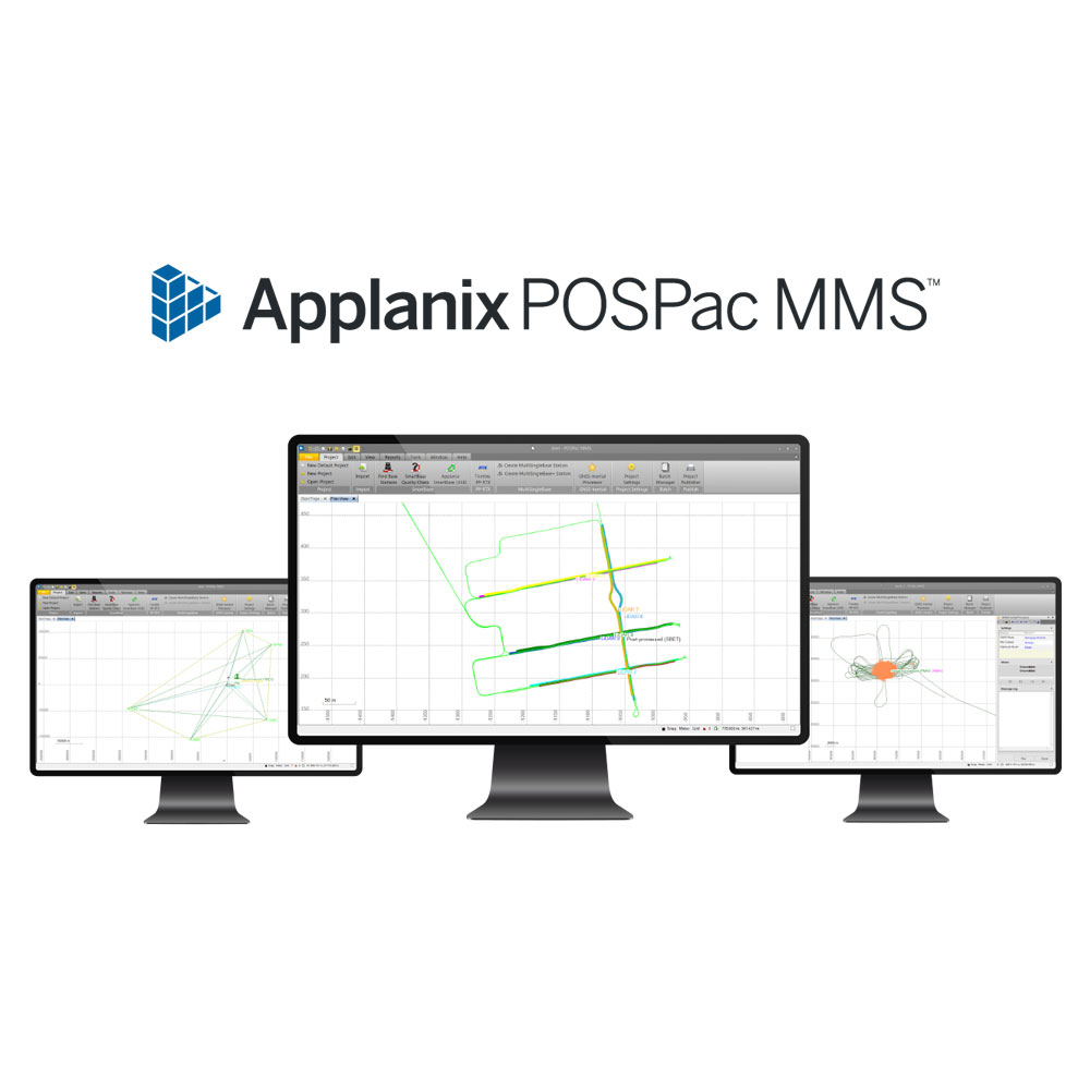
Applanix POSPac MMS SmartBase (Rental)
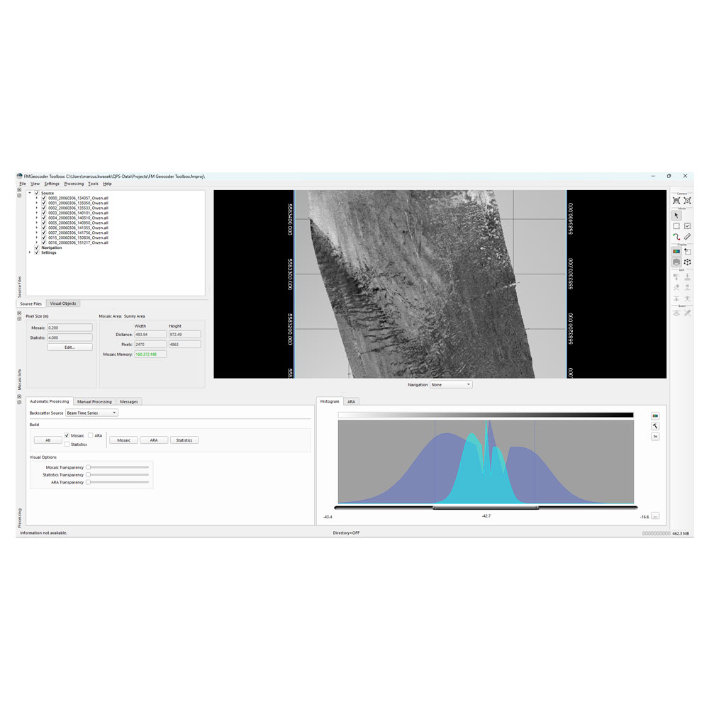
QPS FMGeocoder
QPS Qarto 3
QPS Qastor 3


Markets we serve
Our extensive range of services encompasses everything you need to keep your hydrographic survey operations running smoothly and efficiently.


CONTACT INFO
Have a question? Can’t find what you’re looking for? We’d love to hear from you!
Connect with us using the information below.
PHONE
+1 706-522-3022
ADDRESS
481 S. Jackson Street
Hartwell, GA 30643
Hartwell, GA 30643
At ECHO81, we believe in the power of collaboration and are proud to work alongside a network of exceptional partners who share our commitment to excellence. We work with EdgeTech, Kongsberg, Applanix, AML Oceanographic, and many more.
We are always looking for new ways to grow and improve. If you have any questions, feedback, or would like to learn more about how ECHO81 can assist you, please don’t hesitate to Contact Us