-
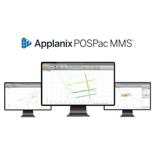 Applanix POSPac MMS SmartBase Software Rental Software rental to supply a floating license of Applanix's POSPac MMS SmartBase Software for one (1) month, i.e., 30 days. Activation provided as a soft lock authorization code.
 -
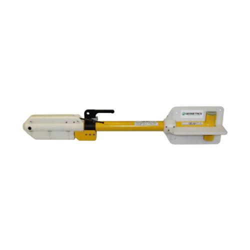 Geometrics G882 Tandem Tow Kit Equipment rental comes with EdgeTech 4205 Tow Key, 9-meter umbilical, and interface kit.
 -
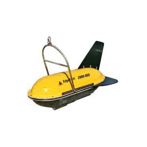 EdgeTech 2000-DSS Combined SS & SBP System Equipment rental to supply an EdgeTech 2000-DSS Combined DF-SS (100/400 kHz) and SBP (2-16 kHz) Sonar with Magnetometer Interface, Topside Processor w/ Built-in PC. Comes with 15-meter topside to winch deck cable, 15-meter on-deck test cable, USB drive containing Discover control software, and wooden shipping crate.
 -
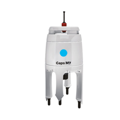 iXblue GAPS M7 Equipment rental to supply of GAPS M7 pre-calibrated USBL system. Optional accessories include Applied Acoustics 1100 or 1130 Transponder and an OTS pole mount.
 -
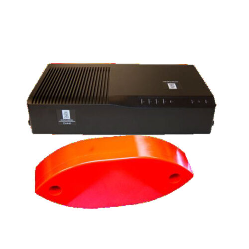 EA 440 Single Beam Echo Sounder Equipment rental to supply a Kongsberg EA 440 Broadband Single Beam Echo Sounder system. Comes with a WBT topside interface, Simrad 38/200 kHz transducer, interface cabling, USB containing software and user manual, in transport case. Note: Other transducers are available upon request.
 -
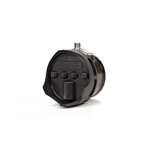 Kongsberg M3 Sonar HF (Rental) The M3 Sonar HF is a high-frequency sonar with imaging and profiling modes. It is an impressive upgrade to the original M3 Sonar, with an all-titanium construction and two-hundred percent higher resolution.
 -
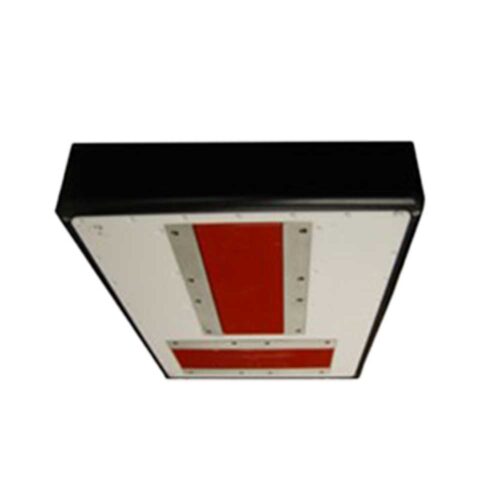 Kongsberg EM 712 Multibeam Echosounder The EM 712 multibeam echo sounder is a high- to very high-resolution seabed mapping system designed to meet all relevant hydrographic survey standards. It offers exceptional depth capability, with a minimum acquisition depth of less than 3 meters below the transducers and a maximum depth of up to 3000 meters. The system provides across-track coverage (swath width) of up to 5.5 times the water depth, with a maximum swath width of 4400 meters—nearly double the range of its predecessor, the EM 710.
 -
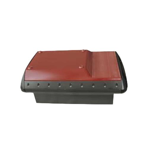 Kongsberg EM 2040P MKII Multibeam Echosounder The EM 2040P MKII is a shallow water multibeam echo sounder based on EM 2040 technology, an ideal tool for any high-resolution mapping and inspection application. With this release, Kongsberg Maritime has upgraded the hardware and software to increase the swath and improve the data quality of our EM 2040 series.
 -
 iXblue GAPS M5 Equipment rental to supply of GAPS M5 . Optional accessories include additional beacons, and an OTS pole mount.
 -
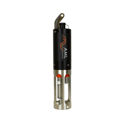 AML-3 SV Profiler 500m rated (500dBar pressure sensor) Equipment rental supplied with direct sound velocity and 500 dBar pressure sensors, charging cable, power adapters, USB WiFi adapter, rubber weight lines, USB drive containing software and manuals, and transit case.
 -
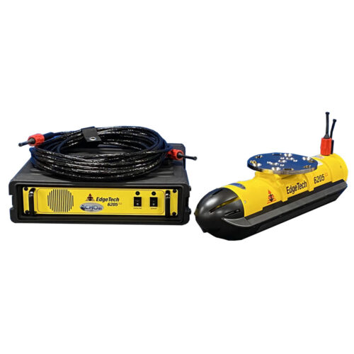 EdgeTech 6205s2 With 19" Rack Mount Top Unit Equipment rental to supply a pole mountable EdgeTech 6205 540/1600 kHz sonar system. Comes with 19-inch rackmount topside interface unit, 20-meter deck cable, acquisition laptop preconfigured with EdgeTech's Discover control software, and shipping cases.
 -
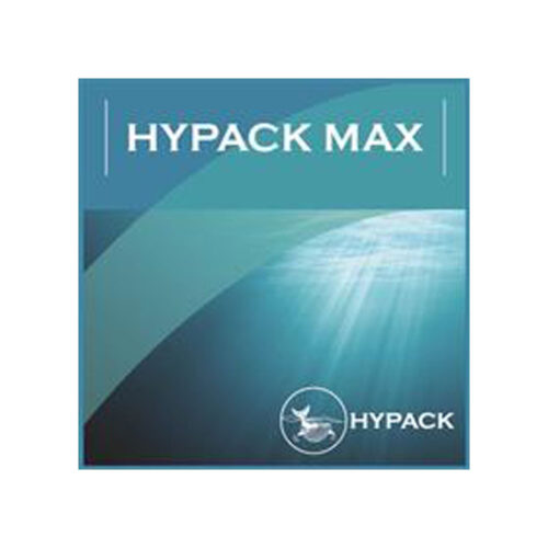 HYPACK MAX Equipment rental to supply a license of HYPACK Max acquisition and processing software. Comes with USB hard lock key for activation and software may be downloaded from manufacturer's website.
Contact us at +1 (706) 522-3022
TOP NEWS!
481 S. Jackson Street
Hartwell, GA 30643
Shop
Your account
Stay Connected
Explore the latest updates, product releases, and subsea technology insights from ECHO81.