-
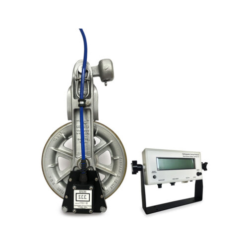 HSP 22" Sheave Counter Comes with remote display, accessory kit, 100-ft deck cable, and reusable transit case.
 -
HSP 22" Sheave Counter Comes with remote display, accessory kit, 100-ft deck cable, and reusable transit case.
-
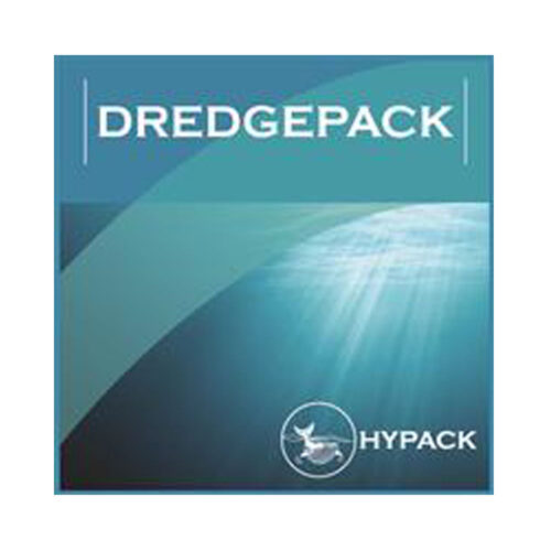 DREDGEPACK: is the complete dredging solution. This license enables control of cutter suction, hopper, excavator, and bucket dredge operations. Improve efficiency and monitor the digging operations with DREDGEPACK, providing the design tools to accurately model almost any dredge plan. This license is not for hydrographic surveying.
 -
 HYPACK ECHO: is the basic and economical software package for single beam bathymetric surveys. ECHO supports single vessel (remote, autonomous or traditional) single beam (including dual frequency) survey mission planning, navigation, data acquisition and processing. ECHO includes HYPACK Single Beam Editor for data review, cleaning, thinning, and generating XYZ files and exporting DXF contours.
 -
HYPACK GEOPHYSICS combines all of the tools required for geophysical surveys in a centralized, easy to use interface. GEOPHYSICS supports side scan, sub-bottom and magnetometer survey planning, navigation, and processing, including interfaces for more than 30 devices. GEOPHYSICS includes search and recovery (SAR) survey and targeting tools. Collect and mosaic side scan data in real-time or in postprocessing.
-
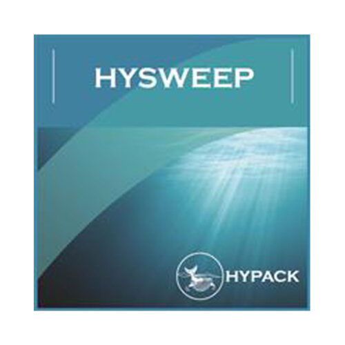 HYSWEEP is the module for planning, collection, and processing of multibeam, backscatter, LiDAR, and water column data. HYSWEEP requires a HYPACK (SURVEY or MAX) license for data collection. The SURVEY or MAX license can be upgraded to support multibeam and LiDAR by adding the HYSWEEP? module.
 -
 HYSWEEP OFFICE: is the data processing and final products version of HYSWEEP. HYSWEEP OFFICE supports processing any data collected with the HYSWEEP module.
 -
 HYPACK LITE: is the data collection and processing software for all the sensors supported by SURVEY. LITE includes data collection aspects from SURVEY, with the addition of processing tools for the same sensor suite. The data products from LITE can be exported to CAD or GIS.
 -
 HYPACK MAX Equipment rental to supply a license of HYPACK Max acquisition and processing software. Comes with USB hard lock key for activation and software may be downloaded from manufacturer's website.
 -
HYPACK MAX Equipment rental to supply a license of HYPACK Max acquisition and processing software. Comes with USB hard lock key for activation and software may be downloaded from manufacturer's website.
-
HYPACK MAX & HYSWEEP Software Equipment rental to supply a license of HYPACK & HYSWEEP acquisition and processing software. Comes with USB hard lock key for activation and software may be downloaded from manufacturer's website.
-
HYPACK MAX & HYSWEEP Software Equipment rental to supply a license of HYPACK & HYSWEEP acquisition and processing software. Comes with USB hard lock key for activation and software may be downloaded from manufacturer's website.
Contact us at +1 (706) 522-3022
TOP NEWS!
481 S. Jackson Street
Hartwell, GA 30643
Shop
Your account
Subscribe to our newsletter.
Join our emailing list to receive all up-to-date information from ECHO81
© Copyright 2016 - 2025 | ECHO81 | All Rights Reserved | Powered by ECHO81
 HYPACK SURVEY
 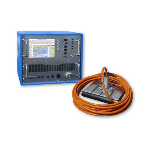 Innomar Medium-100 Subbottom Profiler
 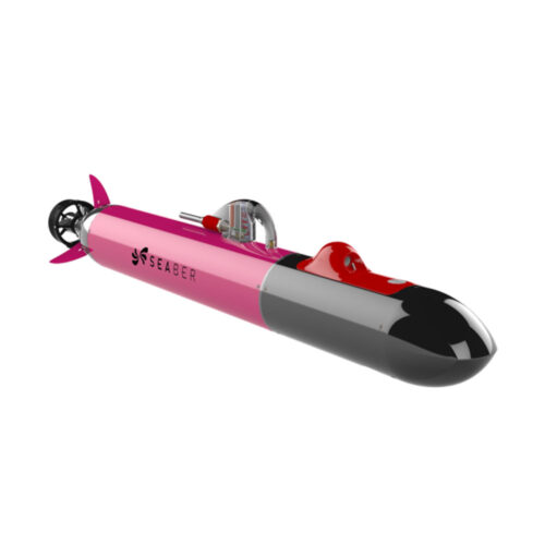 SEABER YUCO-CTD AUV
  Applanix Extended POS MV warranty products
  QPS Qimera 2 (Rental)
 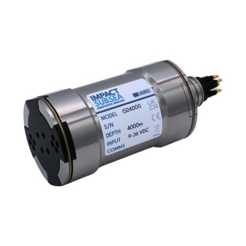 Impact Subsea ISD4000
  Applanix POSPac Go!
 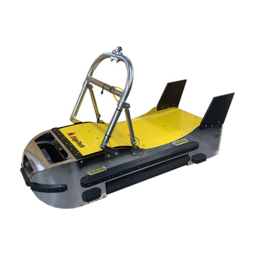 EdgeTech 2300B Combined Tri-Frequency Side Scan Sonar With 3D Bathy & High Res Subbottom Profiler (Rental)
 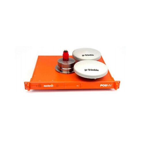 Applanix RTK POS MV SurfMaster RM IP68 INS
 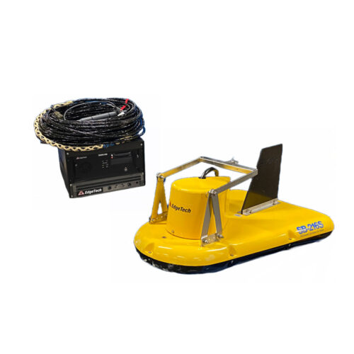 EdgeTech 3100P Sub Bottom Profiler (4-24 kHz) (Rental)
 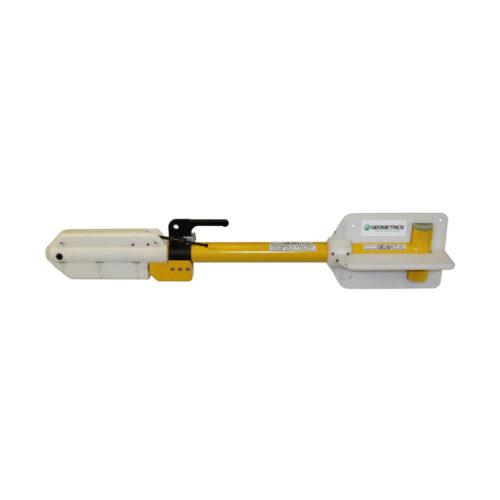 Geometrics G882 Magnetometer Tandem Tow Kit (Rental)
 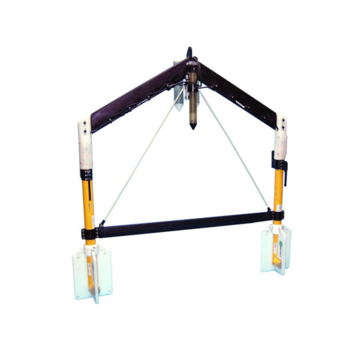 Geometrics TVG Frame (Frame Only) (Rental)
 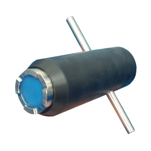 Impact Subsea FMD System (Rental)
 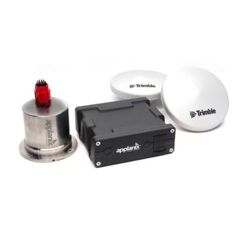 Applanix RTK POS MV WaveMaster II SFF IP68 INS
 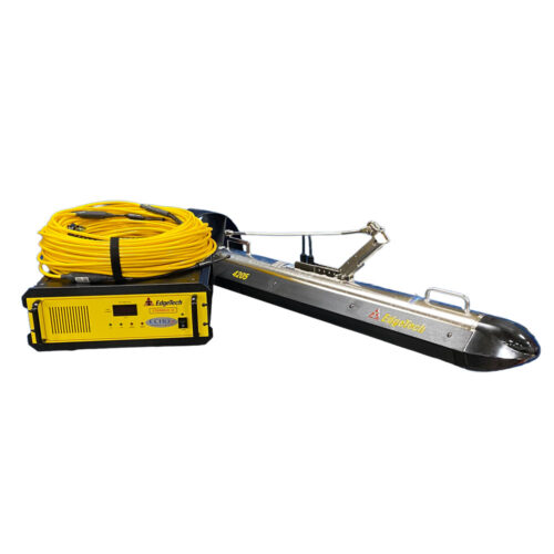 EdgeTech 4205 Tri-Frequency Side Scan Sonar (Rental)
 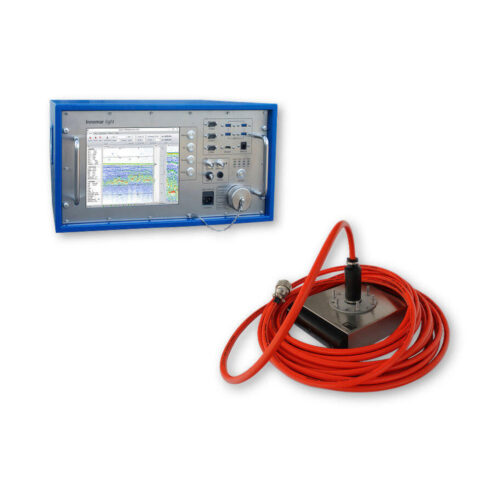 Innomar Light Subbottom Profiler
  SonarWiz
 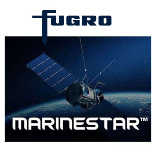 Fugro MarineStar Subscription
  EdgeTech 3400-OTS Low Freq Digital Subbottom Profiler Dual Transmitters
 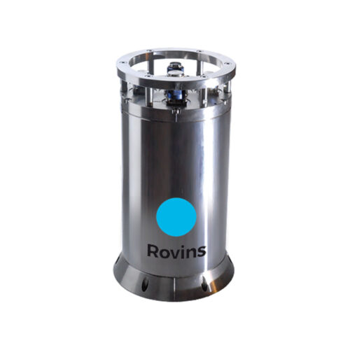 iXblue Rovins INS (Rental)
 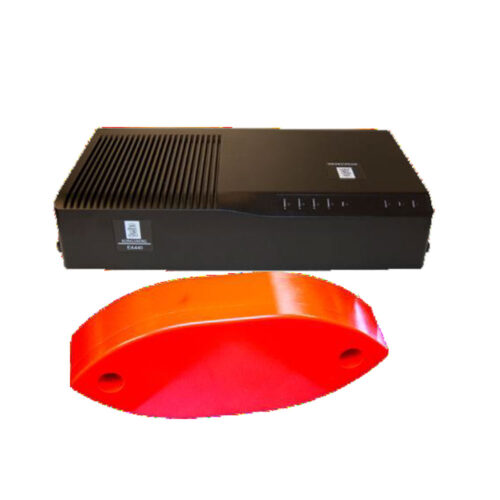 Kongsberg EA 440 Single Beam Echosounder (Rental)
 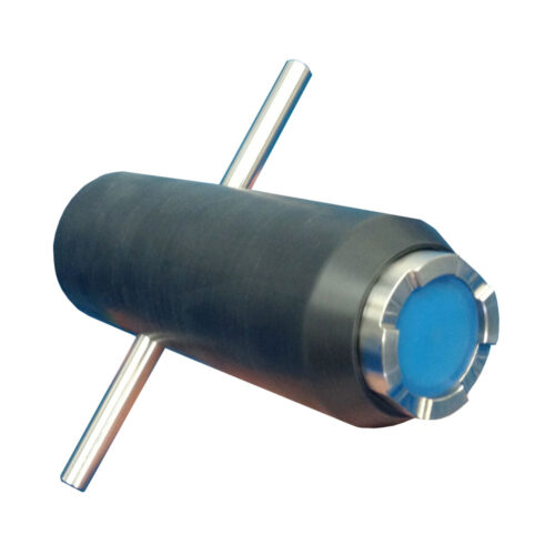 Impact Subsea ISFMD System ROV Only System
  QPS Fledermaus 8
  Kongsberg cNODE Micro 31-180 Beacon (Rental)
 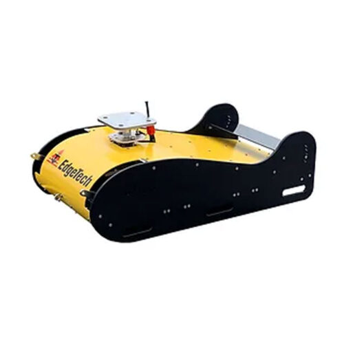 EdgeTech ASSY Top 3400 Subbottom Profiler Pole Mounted Sonar Head
 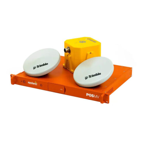 Applanix RTK POS MV OceanMaster RM INS
 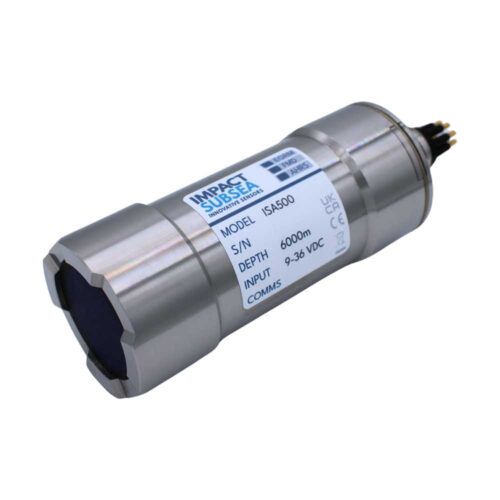 Impact Subsea ISA500 Underwater Altimeter (Rental)
  QPS Qarto 3
 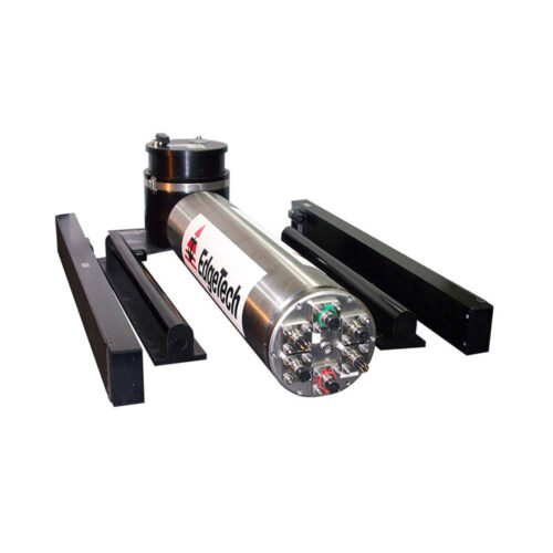 EdgeTech 2205 Tri-Frequency Side Scan Sonar
  Kongsberg uPAP 200-NEL Portable USBL
 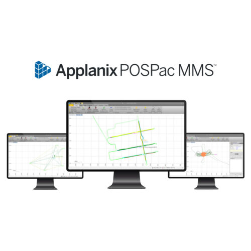 POSPac MMS SmartBase, USB Licence including 1st year maintenance
 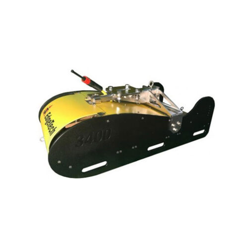 EdgeTech 3400 Dual 216 Subbottom Profiler Towfish With Pole Mount Adapter
 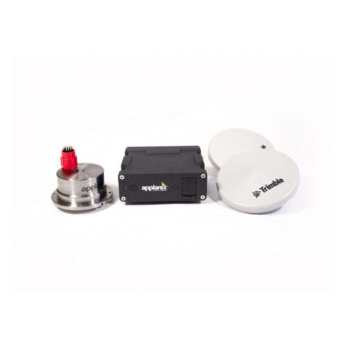 Applanix RTK POS MV SurfMaster SFF IP68 INS
 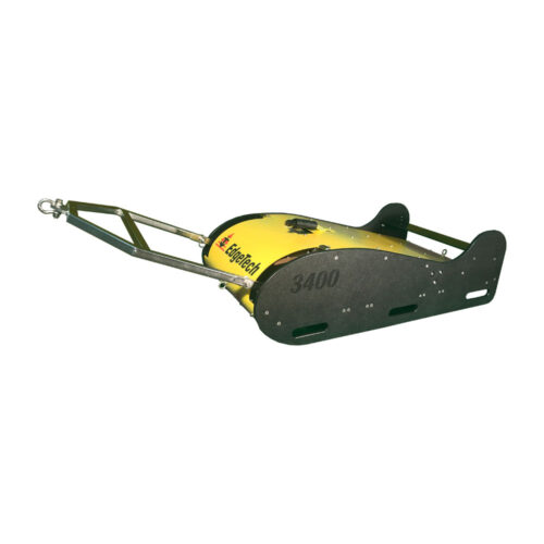 EdgeTech 3400 Dual 216 Subbottom Profiler Towfish With Tow Bridle
 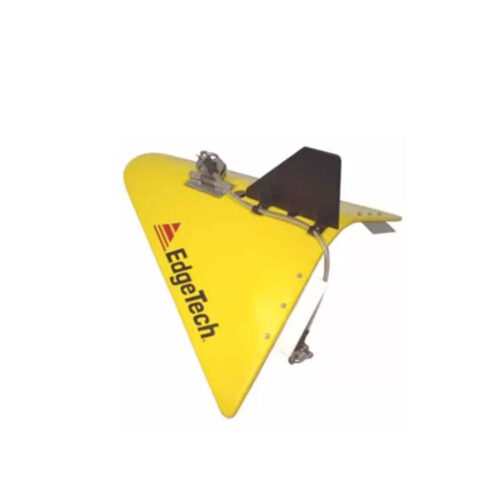 EdgeTech 4205 Side Scan Sonar Depressor Wing (Rental)
 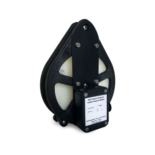 OI 24" Sheave Counter with Bluetooth (Rental)
 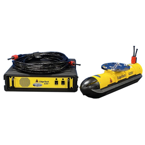 EdgeTech 6205s2 Multibeam Sonar With 19" RM Integrated With Applanix POSMV SurfMaster
  CenterPoint RTX Marine
 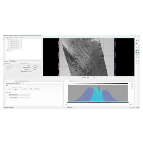 QPS FMGeocoder
  EdgeTech 2300B Combined Tri-Frequency Side Scan Sonar With 3D Bathy & High Res Subbottom Profiler
  Onsite Installation, Integration & Training
 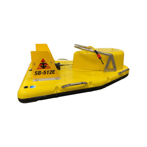 EdgeTech 3400-512E 500 Hz-12 kHz Side Scan Sonar
 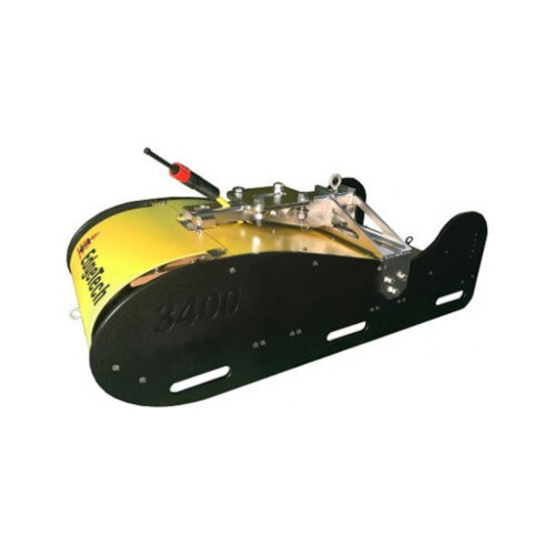 EdgeTech ASSY Top 3400 Subbottom Profiler Combined Towed & Pole Mounted Sonar
  QPS Qastor 3
  QPS TTL/ZDA Splitterbox MK3 (8-way) 19" Rack Mount
 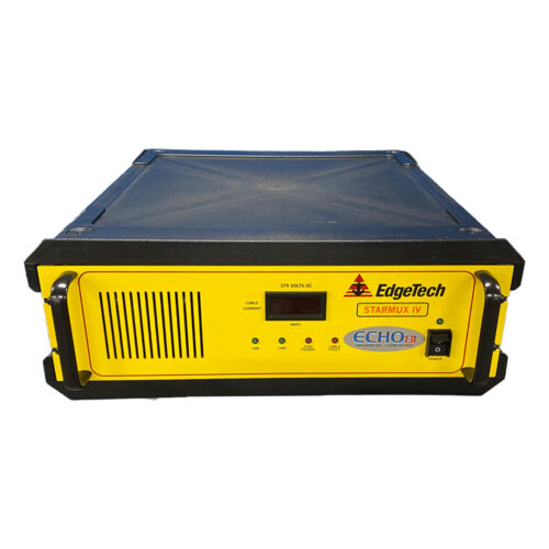 EdgeTech Starmux IV Interface
  Applanix RTK POS MV WaveMaster II RM IP68 INS
  Geometrics Magnetometer Telemetry MUX
  USM HighTower Bow Sonar Mount
 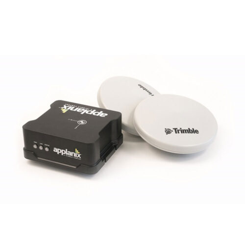 Applanix POS MV SurfMaster One INS (Rental)
 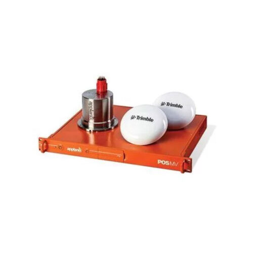 Applanix POS MV OceanMaster INS IP68 (Rental)
 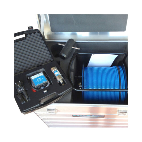 Impact Subsea ISFMD System Full System
 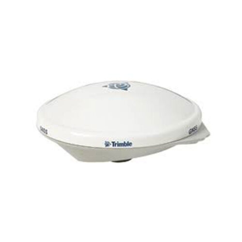 Applanix GNSS antenna, 540AP
  HYPACK VIPER
  Applanix RTK POS MV SurfMaster SFF INS INS
  Applanix GNSS antenna, GA830